DJI Enterprise systems, professional aerial mapping and secure geospatial data delivery through TitanViewer.
One connected workflow from field acquisition through processing, interpretation and client delivery.
Mission-ready enterprise drone systems and professional aerial data acquisition.
Photogrammetry, LiDAR and geospatial processing built around reliable field data.
Turn complex spatial data into clear mapping, models and actionable information.
Share project outcomes securely through TitanViewer and professional data deliverables.
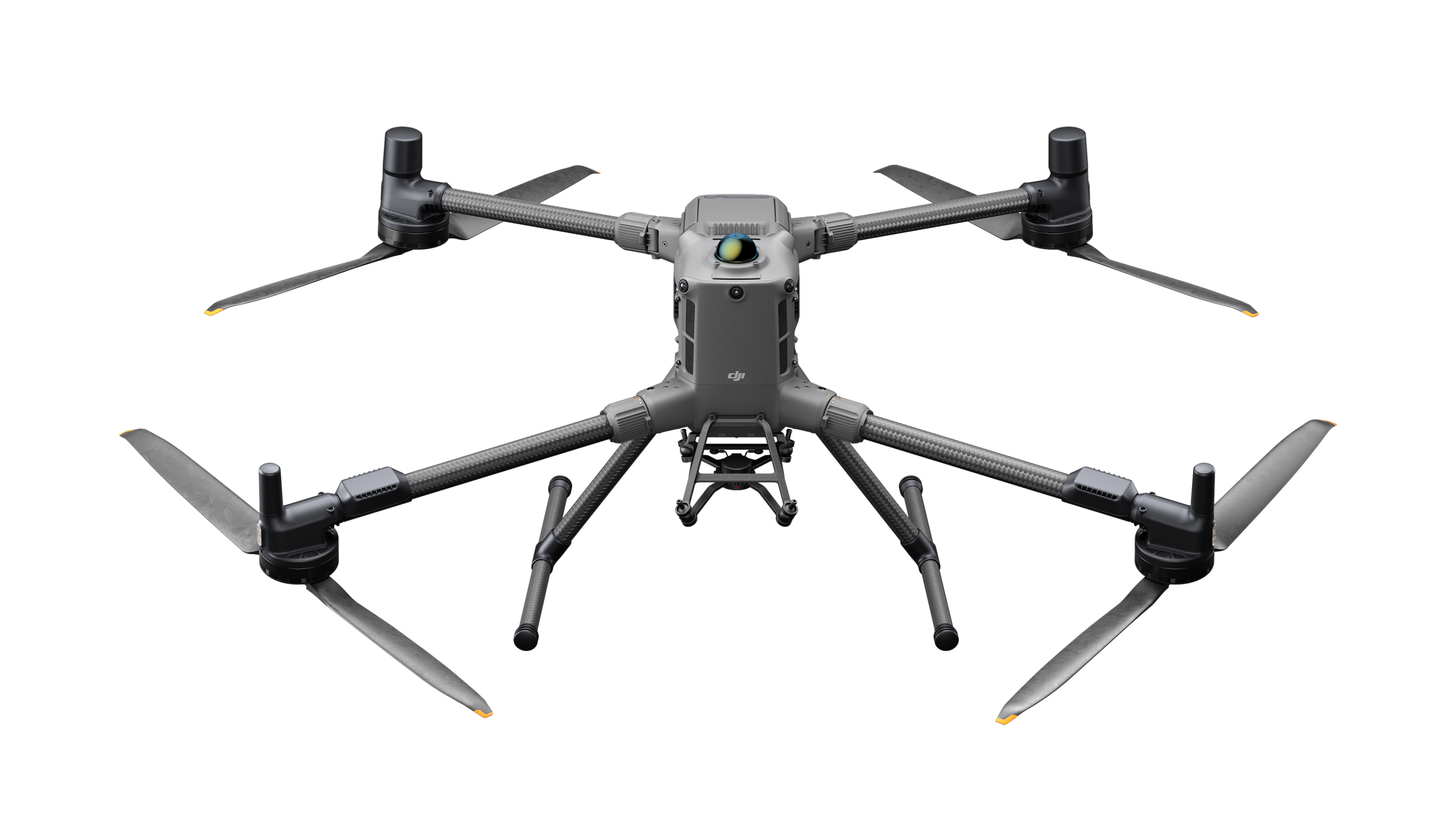
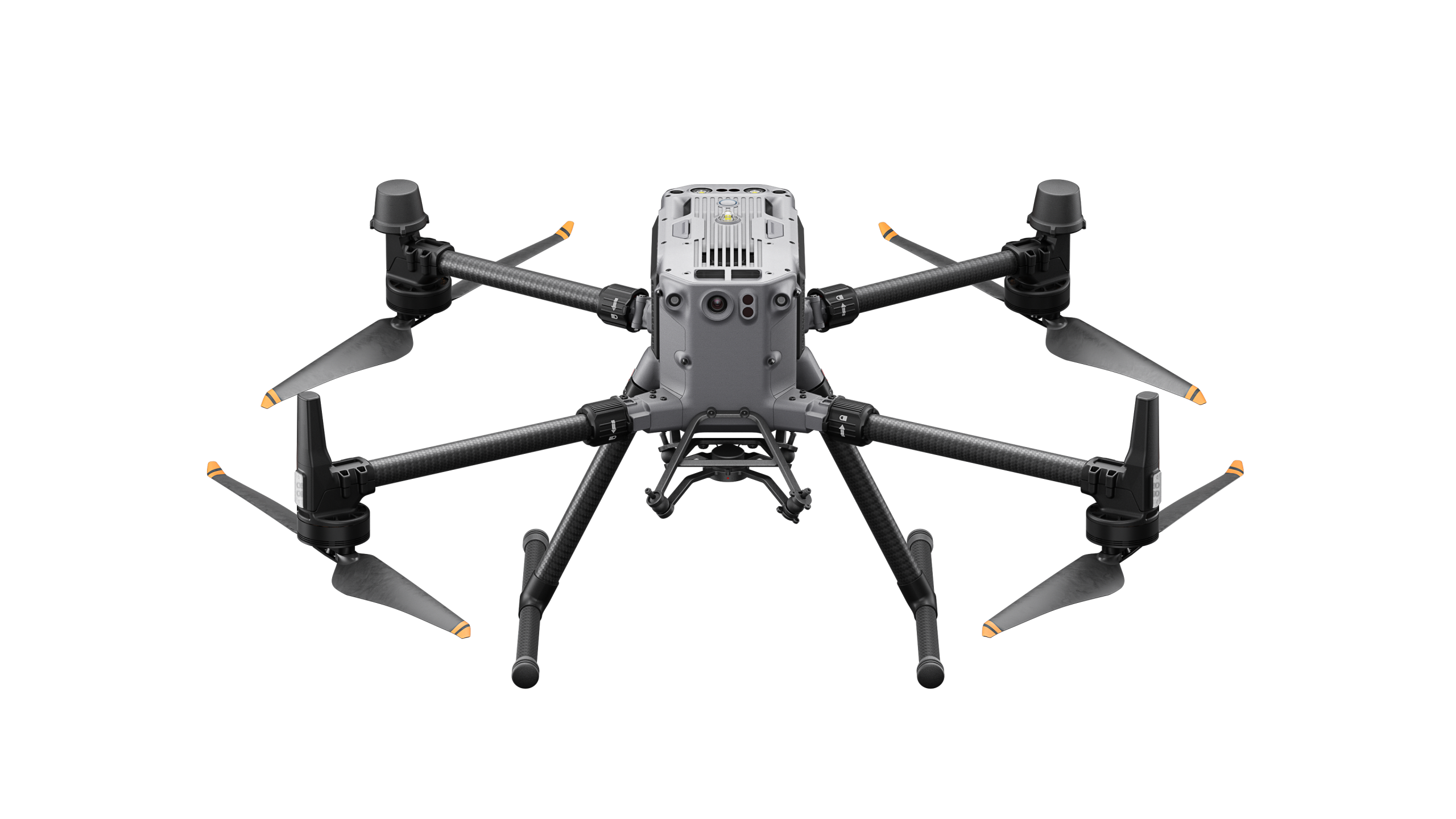
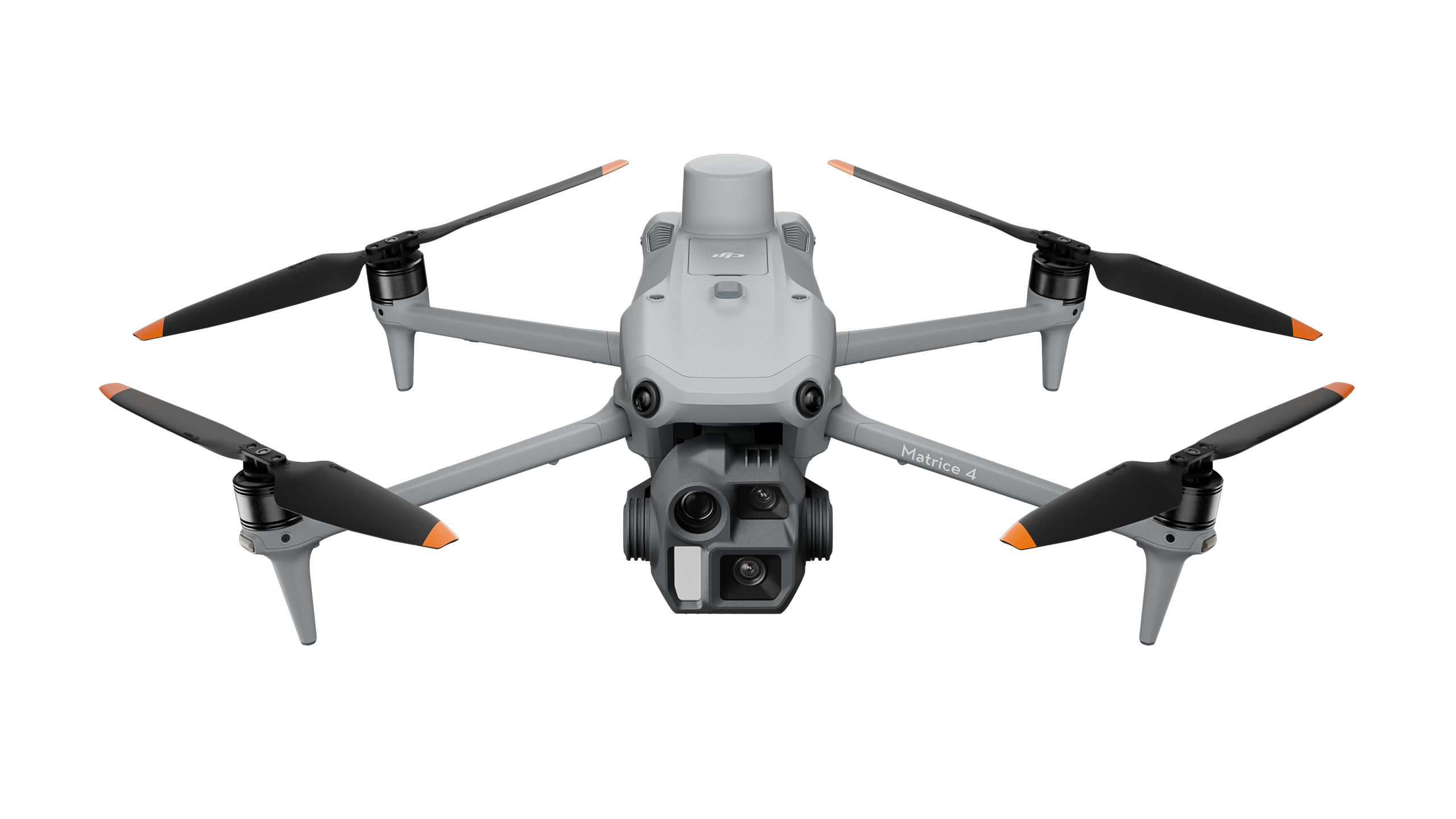
Professional DJI Enterprise aircraft and payloads selected for mapping, inspection, public safety and complex field operations.
A high-performance enterprise platform designed for complex missions, advanced payloads and demanding operational environments.
A proven enterprise aircraft platform for inspection, mapping, public safety and professional aerial operations.
A compact enterprise mapping platform combining portability, precision positioning and efficient field deployment.
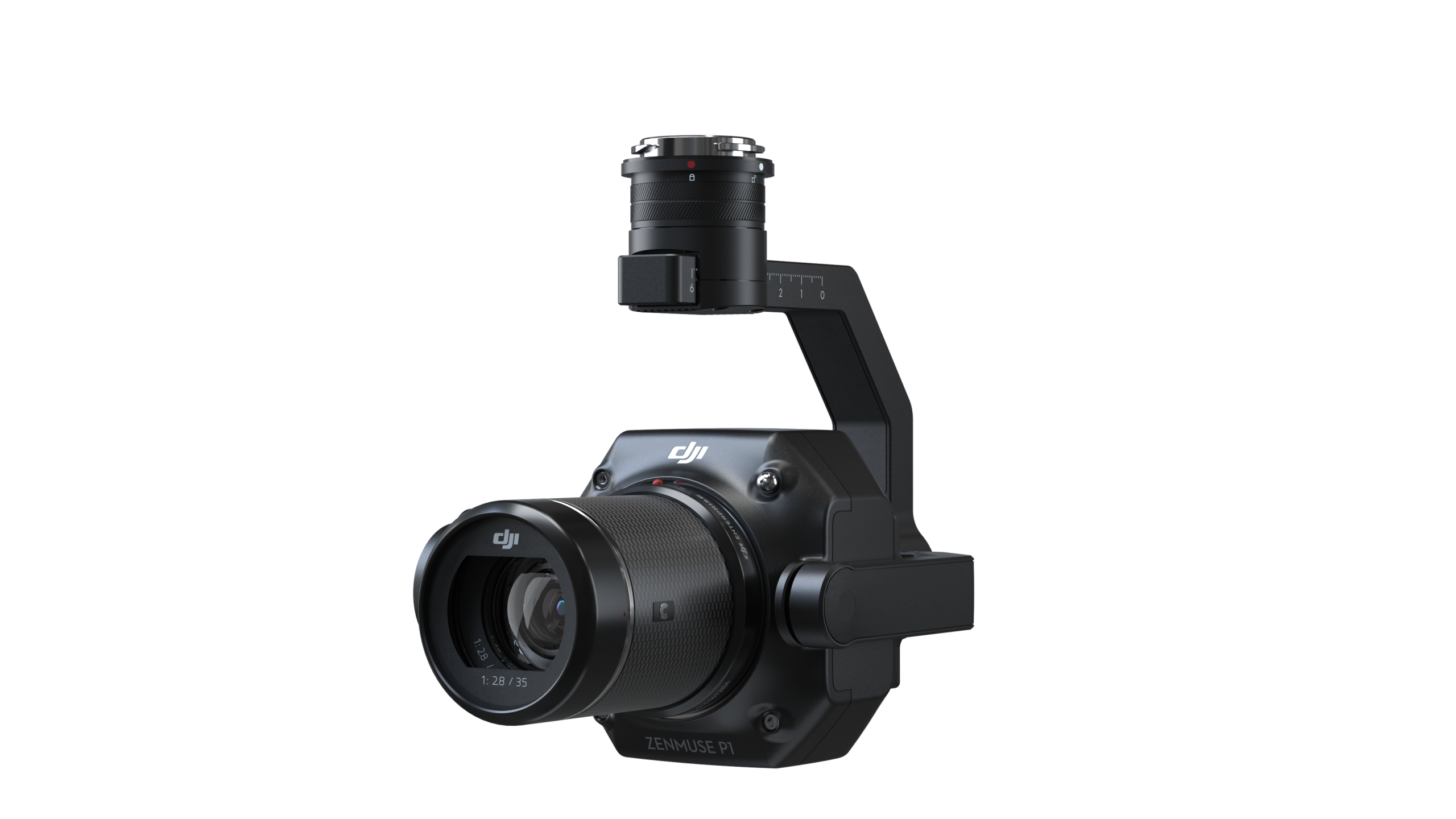
A full-frame photogrammetry payload built for high-accuracy aerial mapping and efficient large-area data capture.
Professional aerial data capture, mapping and geospatial workflows designed around operational requirements rather than a one-size-fits-all flight plan.
High-accuracy aerial mapping workflows for orthomosaics, 3D reconstruction and geospatial project deliverables.
LiDAR data capture for terrain, infrastructure and long linear corridors where efficient spatial coverage is critical.
Detailed aerial scene capture and spatial documentation supporting crash, forensic and evidentiary workflows.
Enterprise drone capability for inspection, thermal and zoom imaging, remote environments and complex operational tasks.
TitanViewer delivers complex geospatial project data through a browser-based environment designed for 2D, 3D, point-cloud and multimedia outputs.
Private projects can be delivered through paid project access or subscription-based services with access restricted to authorised users and organisations.
Selected projects may be published for public access where open viewing supports the purpose of the project or community outcome.
Provide clients with an interactive project environment for viewing spatial outputs, imagery, video and supporting project information in one place.
Titan Drones combines enterprise platforms, professional data capture, geospatial processing and secure project delivery into one practical operational capability.
Systems and workflows are planned around real field constraints, efficient deployment and practical mission outcomes.
RTK, photogrammetry and LiDAR workflows are built around reliable spatial data, repeatable capture and defensible deliverables.
Aircraft, payloads, processing and project delivery are treated as one connected workflow rather than separate services.
Project outputs can be delivered through controlled browser-based access using TitanViewer as part of the client workflow.
From initial data capture through analysis and delivery, Titan Drones supports projects where accurate spatial information, reliable field operations and accessible outputs matter.
Orthomosaics, 3D reconstruction, terrain products and high-accuracy spatial data for professional mapping workflows.
Aerial capture and inspection workflows supporting assets, infrastructure corridors, utilities and operational planning.
Detailed spatial documentation for crash scenes, forensic environments, incident response and evidentiary applications.
Efficient LiDAR and aerial data capture across rivers, roads, linear infrastructure and environmental project areas.
RGB, zoom and thermal imaging workflows for detailed inspection of assets, structures and difficult-to-access locations.
Repeatable aerial capture for site progress, spatial records, project documentation and stakeholder communication.
Talk to Titan Drones about enterprise systems, aerial mapping, LiDAR, specialist data capture or secure project delivery through TitanViewer.
No products in the cart.